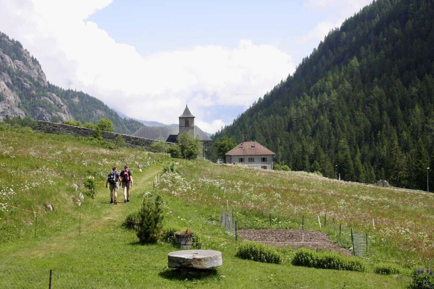
Col des Montets
Vallorcine (Fr)
Distance2,2 km
Difference in altitude -85 m
Duration 1 h 30 m
Difficulty Easy
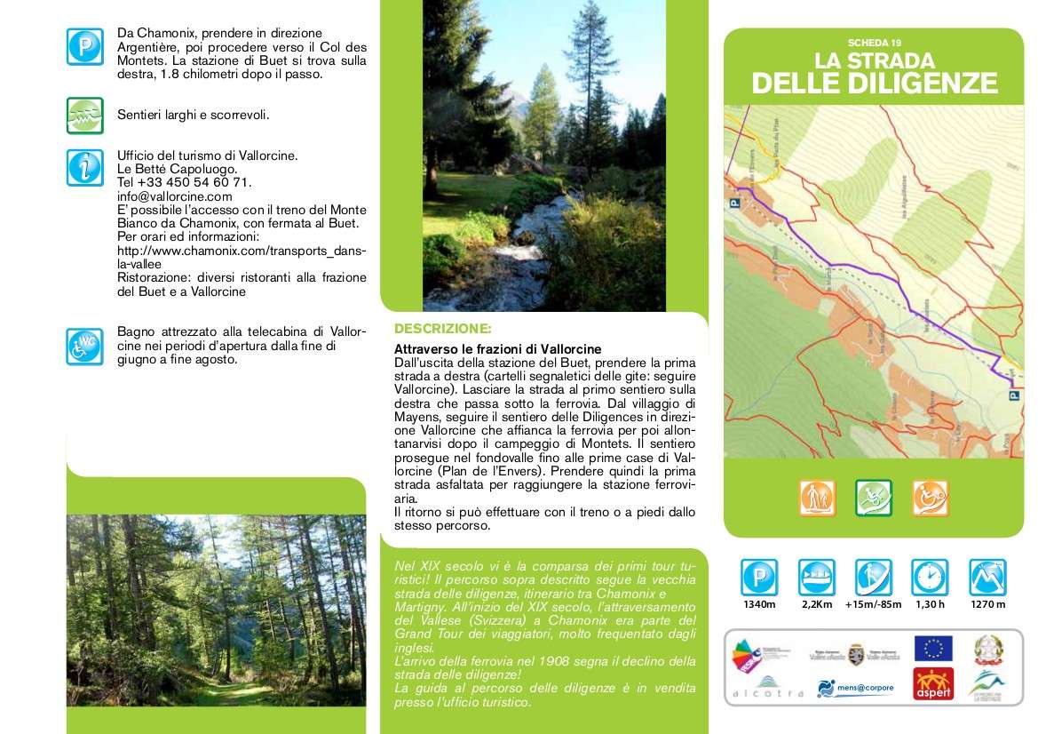
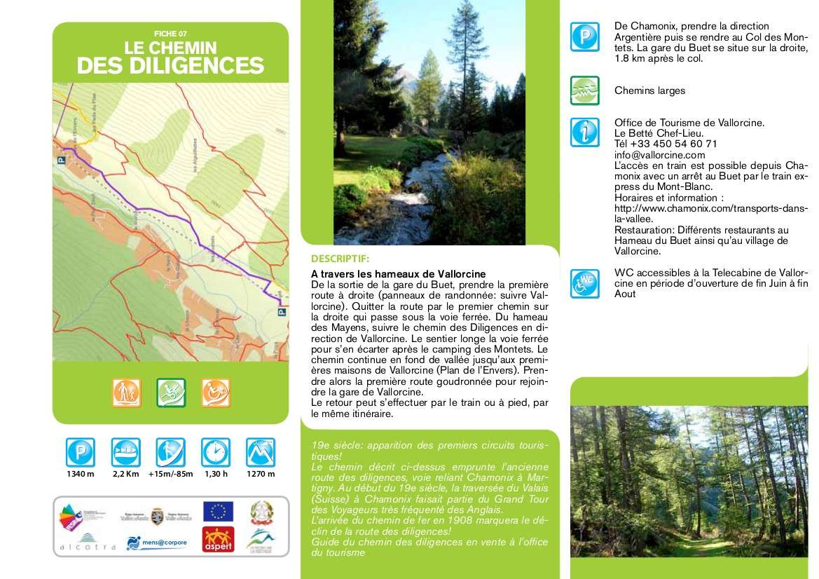
Description
Through the hamlets of Vallorcine
From the Buet station exit, take the first street on the right (signs for the trips: follow Vallorcine). Leave the road at the first path on the right that passes under the railway. From the village of
Mayens, follow the Diligences path towards Vallorcine which runs alongside the railway and then leave it after the Montets campsite. The path continues along the valley floor up to the first houses of Vallorcine (Plan de l'Envers). Then take the first asphalted road to reach the railway station.
The return can be made by train or on foot from the same route.
Technical data
Place
Vallorcine (Fr)
Departure
The Buet station, 1,8 km after the Col des Montets, direction Vallorcine
Arrival
Vallorcine station
Direction
Back and forth
Difference in altitude
-85 m
Distance
2,2 km
Duration
1 h 30 m
Maximum altitude
1.340 m
Route conditions
Easy path
Difficulty
Easy
Photo gallery