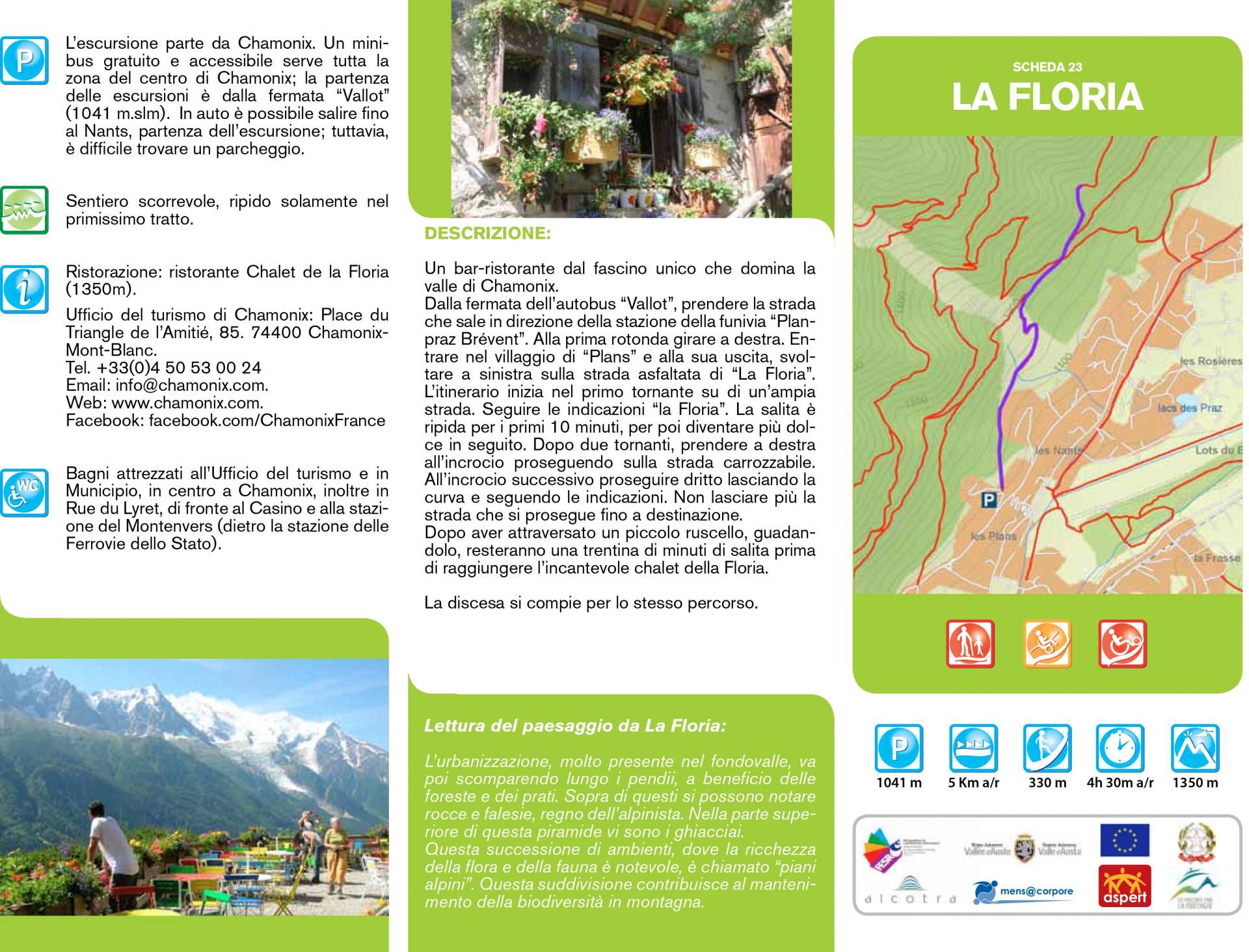
La Floria
Description
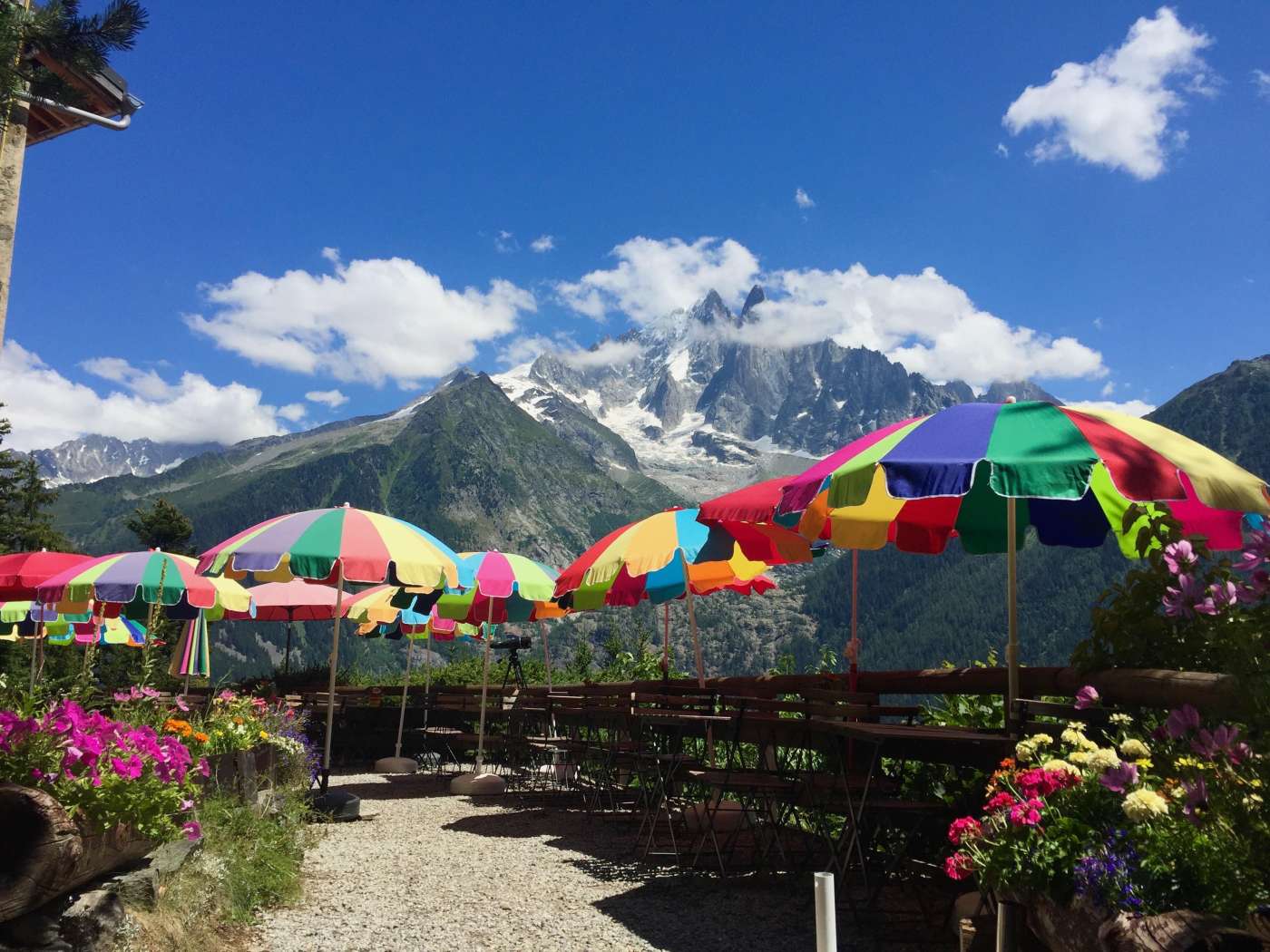
A bar-restaurant with a unique charm overlooking the Chamonix valley.
From the "Vallot" bus stop, take the road that climbs towards the "Plan-praz Brévent" cable car station. At the first roundabout turn right. Enter the village of “Plans” and at its exit, turn left onto the asphalted road of “La Floria”. The itinerary begins in the first bend on a wide road. Follow the directions for "la Floria". The climb is steep for the first 10 minutes, only to get gentler afterwards. After two hairpin bends, take a right at the intersection continuing on the carriage road. At the next intersection, go straight on leaving the bend and following the signs. Do not leave the road anymore as you continue to your destination. After crossing a small stream, fording it, there will be about thirty minutes of climbing before reaching the enchanting Floria chalet.
The descent takes place along the same path
Technical data
Photo gallery