The Tzapy village and the Val Sapin
Courmayeur - Villair (I)
Distance2,2 km
Difference in altitude 255 m
Duration 2 h 30 m
Difficulty Easy
Description
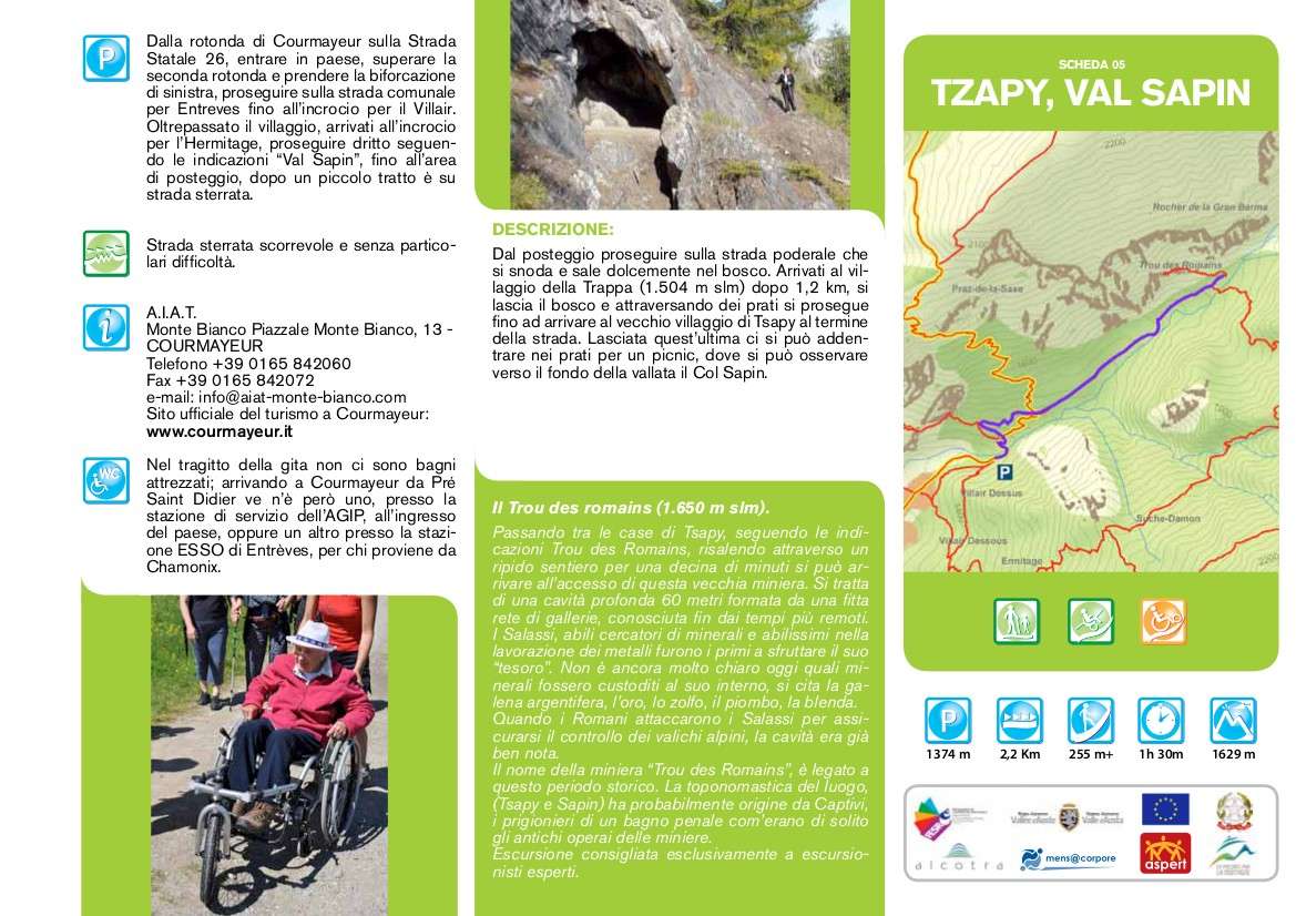
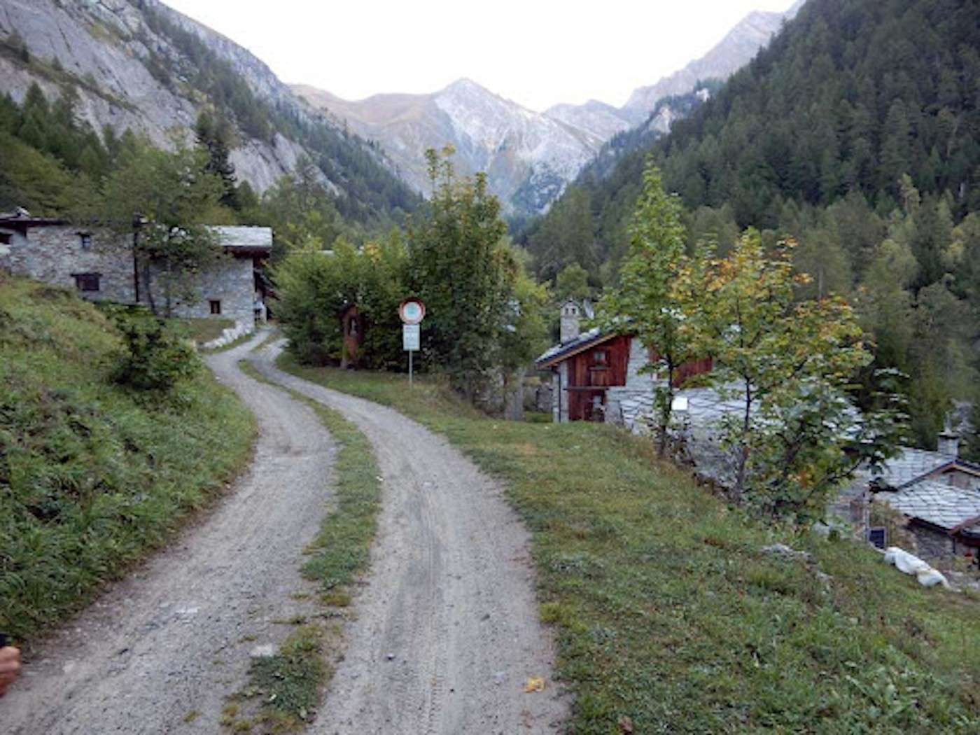
From the car park, continue on the farm road that winds and climbs gently into the woods. Arriving at the Trappa village (1,504 m asl) after 1.2 km, you leave the wood and cross the meadows until you reach the old village of Tsapy at the end of the road. After leaving the latter, you can go into the meadows for a picnic, where you can see the Col Sapin towards the bottom of the valley
Technical data
Place
Courmayeur - Villair (I)
Departure
Parking of Val Sapin
Arrival
Tzapy village
Direction
Back and forth
Difference in altitude
255 m
Distance
2,2 km
Duration
2 h 30 m
Maximum altitude
1.629 m
Route conditions
Wide path
Difficulty
Easy
Photo gallery