Tour du Mont Blanc
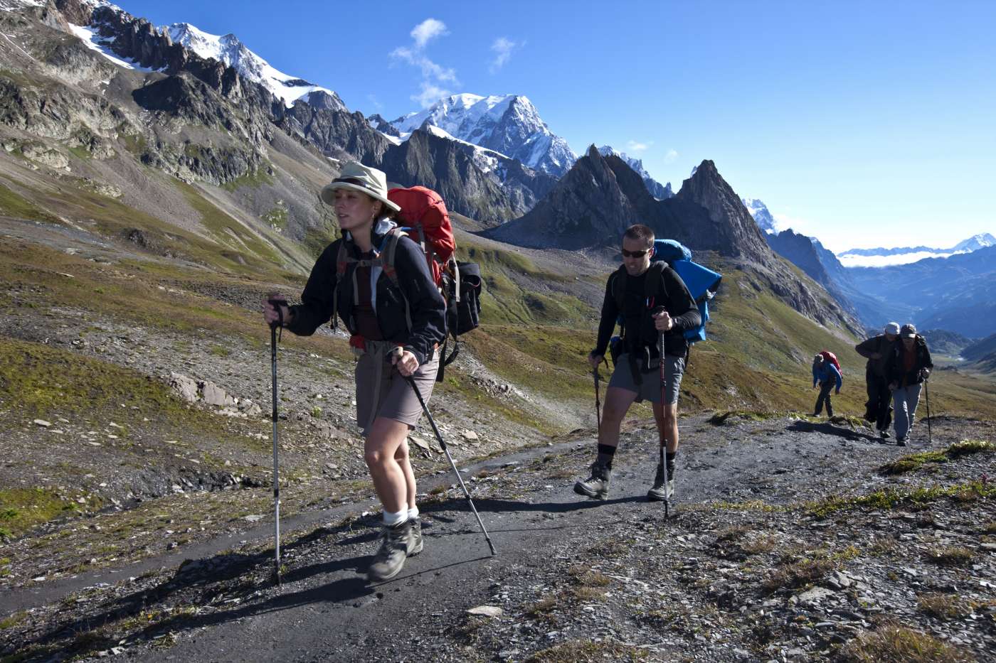
Description
The features that make the TMB unique in its kind are:
- Two different directions (clockwise and anticlockwise)
- Many different starting points: Courmayeur, Les Houches, Chamonix, Les Contamines, St Gervais, Chapieux, Orsières (Champex, La Fouly) Trient Trient
- The possibility to use public transport and lifts to accelerate and shorten the path
- Many variants and several huts on the path that allow total personalization of your trekking
An outline of the main key points of TMB following the classic anti-clockwise route:
- Les Houches - Col de Voza - Bionnassay - Champel - Tresse - Les Contamines-Montjoie
Variant : Col de Voza - Col de Tricot - Chalets de Miage - Truc - Les Contamines-Montjoie.
LES HOUCHES sight of: Aiguille de Bionnassay, Domes de Miage
COL DE VOZA sight of: nord face of the Aiguille de Bionnassay, Aiguille du Gouter
TRUC vista su : Val Montjoie, Vallée de l'Armina
- Les Contamines-Montjoie - Notre-Dame-de-la-Gorge - Nant Borrant - La Balme - Col du Bonhomme - Col de la Croix du Bonhomme - Les Chapieux - La Ville des Glaciers - Mottets - Col de la Seigne - la Casermetta - Refuge Elisabetta
Variant : Col de la Croix du Bonhomme - Col de Fours - Ville des Glaciers
LA BALME sight of : limestone summits of the Aguille de la Pennaz
LES CHAPIEUX sight of: Aiguille des Glaciers, Col de la Seigne
COL DE LA SEIGNE sight of: les Pyramides Calcaires, pastures of Lex Blanche, Mont Fortin, Aiguille de Tré-la-Tete, Mont Percé, Mont-Blanc, Aiguille du Peuteurey, Dent du Géant, les Grandes Jorasses
- Refuge Elisabetta - Lac Combal - Arp-Vieille supérieure - Lac Chécrouit - Col Chécrouit - Plan Chécrouit - Dolonne - Courmayeur
CHECROUIT sight of: glacier du Miage e de la Brenva, Mont-Blanc, Aiguille Noire, Piliers and seracs of Freney and Brouillard
- Courmayeur - Villair -rifugio Bertone - rifugio Bonatti
Variant: Bertone - Tête Bernarda - Col Sapin - Pas d'Entre-Deux-Sauts - Malatra - Bonatti
BERTONE sight of: Mont-Blanc, Aiguille Noire, view from above of Courmayeur
BALCONATA sight of: Col de la Seigne, Aiguille Noire, Grandes Jorasses
- Refuge Bonatti - Arnouva - Refuge Elena - Col Grand Col Ferret - Chalet de la Peule
Variant : Refuge Elena - Petit Col Ferret - La Léchère
REFUGE ELENA sight of: glacier du Pré de Bar, Mont Dolent, east face of the Grandes Jorasses
COL GRAND FERRET sight of : Grand Combin, Mont Dolent, Aiguille de Triolet)
- Chalet de la Peule - Ferret - La Léchère - La Fouly - Praz-de-Fort - Issert - Champex-Lac - Champex-d'en-haut - Plan-de-l'Au - Bovine - Col de la Forclaz
LA LECHERE sight of : Mont Dolent, Tour Noir
Variant: Champex-Lac - Lac d'Arpette - Fenêtre d'Arpette - Chalet of Glacier - Col de la Forclaz
FENETRE D'ARPETTE sight of: Vallée of Trient e glacier of Trient
- Col de la Forclaz - Trient - Peuty - Col de la Balme - Col des Posettes - Tré-le-Champ - La Flégère - Col du Brévent - Les Houches
Variant : Trient - Vallorcine - Buet - Col des Montets - Tré-le-Champ
Variant : Col de Balme - Chalet de Charamillon - Tour - Montroc - Tré-le-Champ
TRE-LE-CHAMP vue du : Aiguillette d'Argentière
LAC BLANC vue du : Mer de Glace, Aguille Verte, paroi nord des Grandes Jorasses