Along the Bon Nant river
Description
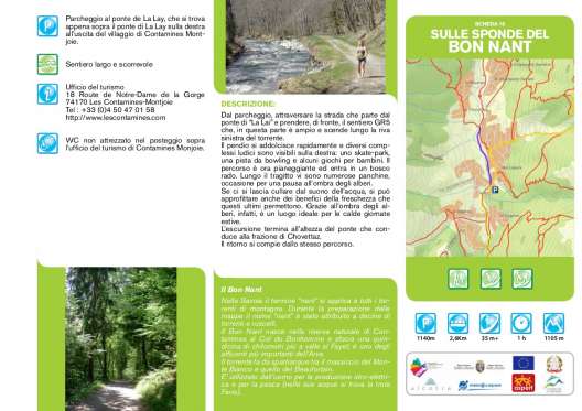
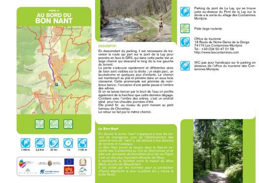
From the car park, cross the road that starts from the “La Lai” bridge and take the GR5 path opposite, which in this part is wide and descends along the left bank of the stream. The slope softens quickly and several play complexes are visible on the right: a skate park, a bowling alley and some games for children. The route is now flat and enters a sparse wood. Along the way there are numerous benches, an opportunity for a break in the shade of the trees. If you let yourself be lulled by the sound of water, you can also take advantage of the benefits of freshness that the latter allow. Thanks to the shade of the trees, in fact, it is an ideal place for hot summer days. The excursion ends at the bridge that leads to the hamlet of Chovettaz. The return takes place from the same path.


