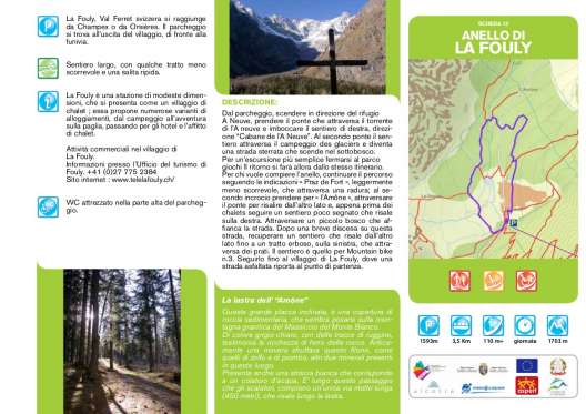
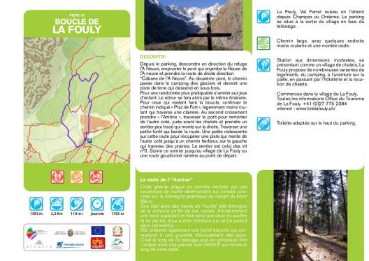
La Fouly ring
Description
From the car park, go down towards the A Neuve refuge, take the bridge that crosses the l’A neuve stream and take the path on the right, towards "Cabane de l’A Neuve". At the second bridge the path crosses the campsite des glaciers and becomes a dirt road that descends into the undergrowth. For a simpler excursion, stop at the playground. The return will then take the same route. For those who want to complete the ring, continue the route following the signs for "Praz de Fort", slightly less smooth, which crosses a clearing; at the second intersection, take the "l'Amône", cross the bridge to go up the other side and, just before the chalets, follow a little marked path that goes up to the right. Cross a small forest alongside the road. After a short descent on this road, recover a path that goes up on the other side up to a grassy stretch, on the left, which crosses meadows. The path is the one for mountain bike n.3. Follow it to the village of La Fouly, where an asphalted road leads back to the starting point


