Rifugio Bertone
Courmayeur - Planpincieux (I)
Distance7,2 km
Difference in altitude 460 m
Duration 3 h 30 m
Difficulty Medium
Description
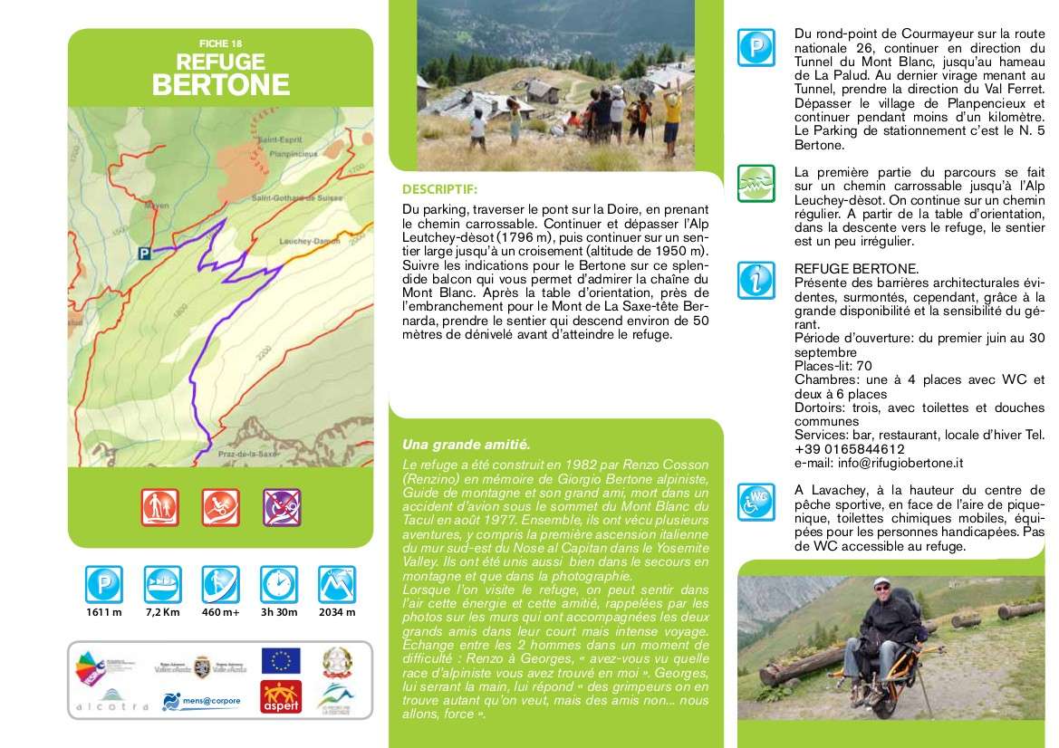
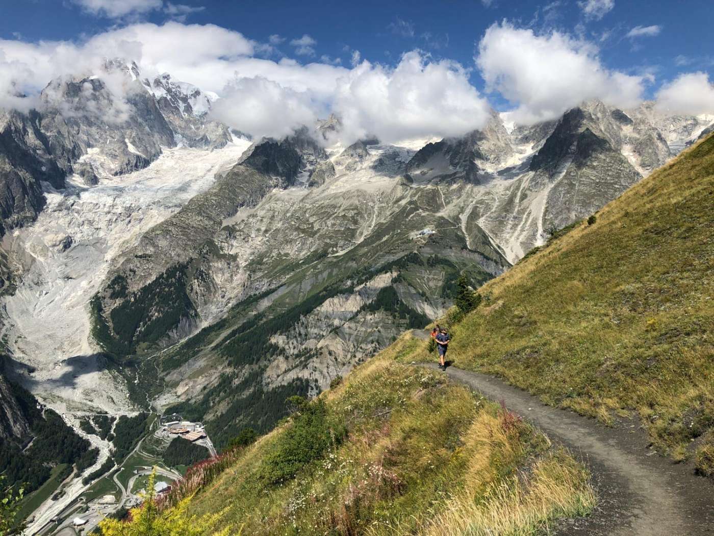
From the car park, cross the bridge over the Dora taking the farm road; continue and pass the Leutchey-dèsot pasture (1796 masl), then continue on a wide path until you reach the crossroads that leads to the Bonatti Refuge (1950 masl), on the splendid balcony that allows you to admire the Mont Blanc chain, and follow the signs for Bertone. Reached the orientation table near the junction for Monte de La Saxe-Testa Bernarda, the path descends for about fifty meters in altitude, before reaching the Refuge
Technical data
Place
Courmayeur - Planpincieux (I)
Departure
Planpincieux (Val Ferret)
Arrival
Rifugio Bertone
Direction
Back and forth
Difference in altitude
460 m
Distance
7,2 km
Duration
3 h 30 m
Maximum altitude
2.034 m
Route conditions
Wide path, then easy trail
Difficulty
Medium
Photo gallery