Interprétation

The Mont Blanc natural and cultural heritage

Understanding and interpretation of natural and cultural heritage as a key to tourism development

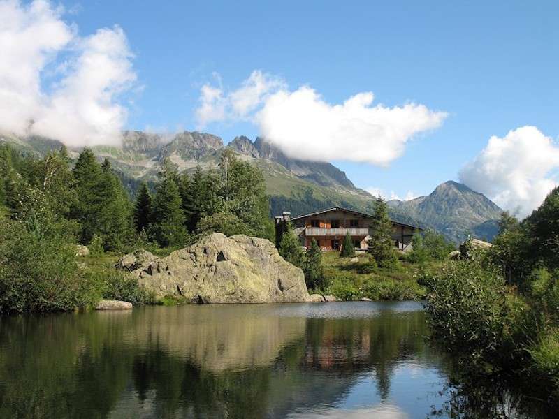
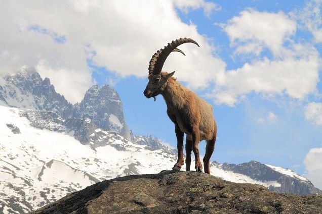
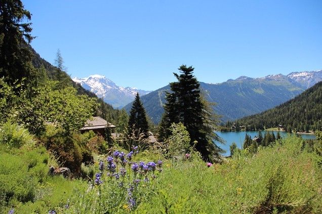
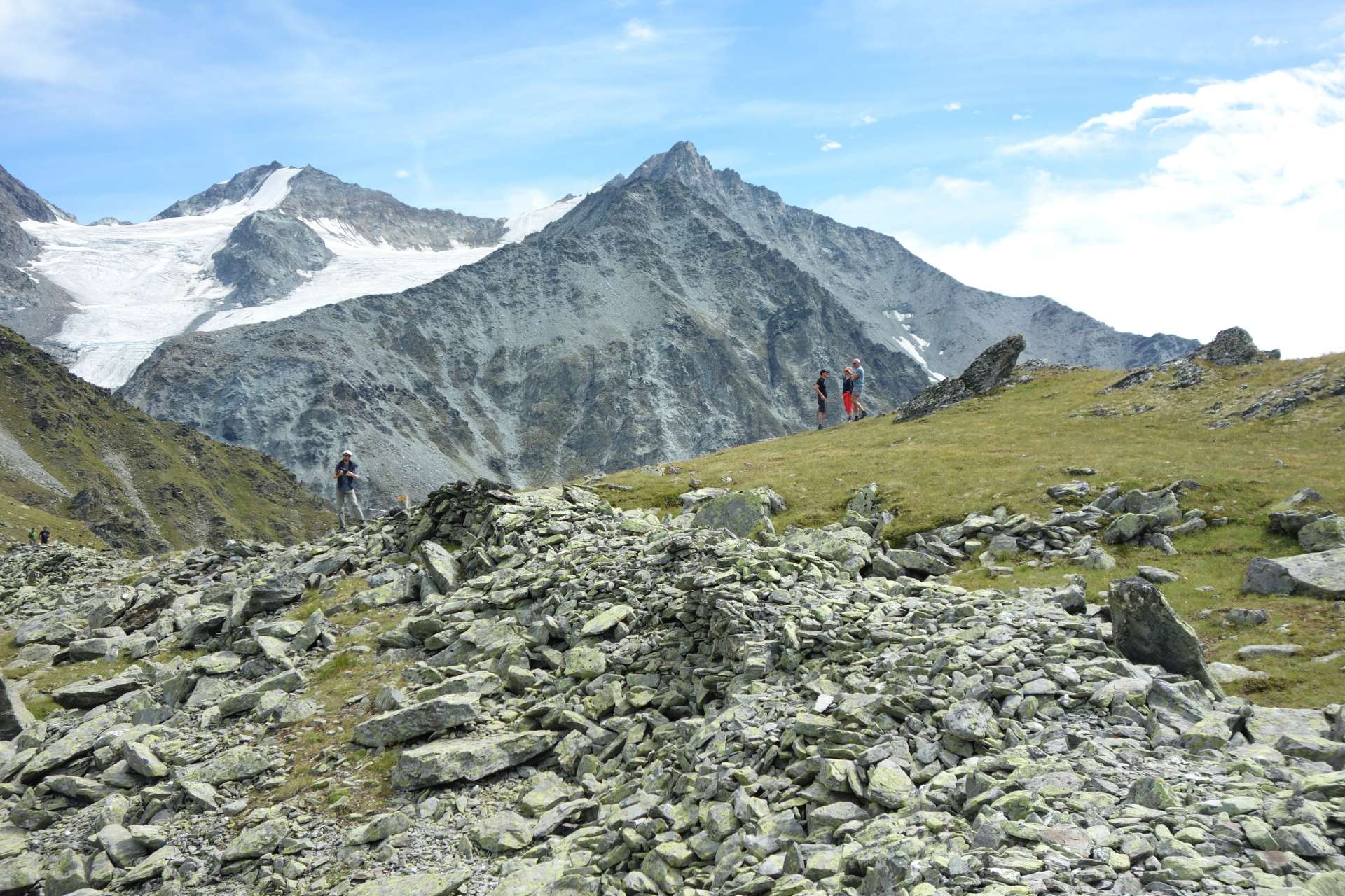
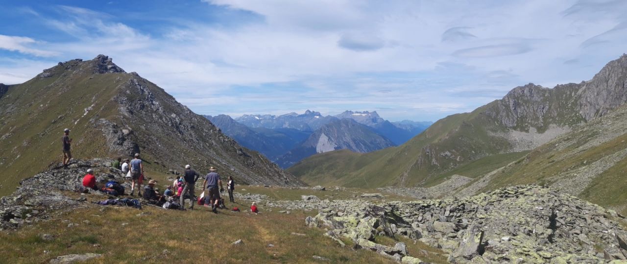
Today more than ever the Alpine territories are experiencing a period of great challenges and of rethinking the way of doing tourism, a fundamental resource for development and growth. Climate change and the reduction of snowfall make it necessary to rethink the tourism model in the long term and to think about the necessary diversification of tourism activities during the four seasons.

In fact, the demand for tourism and the attention of the inhabitants of the Alpine regions to sustainable development models are changing. In this context, natural and cultural heritage is a fundamental resource for quality tourism.

Interpreting this heritage by providing the public with tools, keys to understanding, and awareness is a fundamental action to contribute to the start of this new process, focused on recognizing the value and fragility of the unique heritage with which the territory around Mont Blanc is richly endowed.

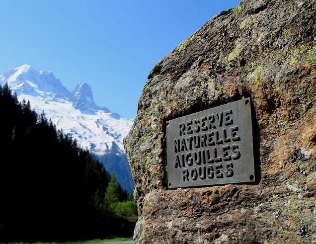
There are facilities and sites in which the exceptional natural and cultural heritage of the area around Mont Blanc is already valued in terms of tourism:

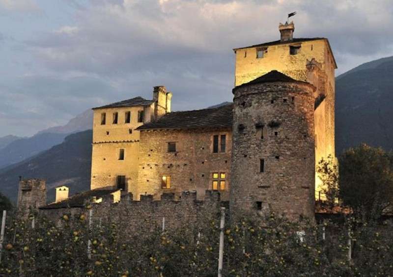
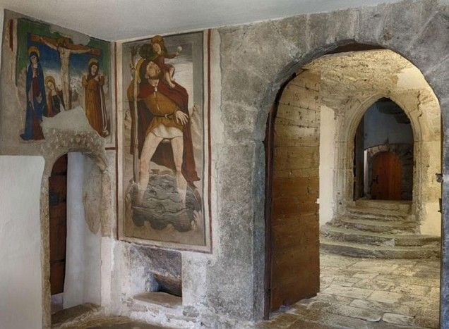
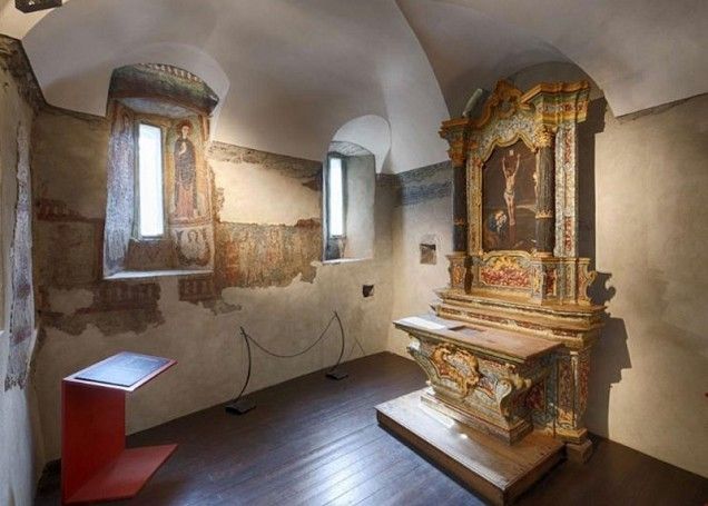
  • Castello Sarriod de la Tour [Sarriod de La Tour Castle] - Municipality of Saint-Pierre - Aosta Valley - Italy
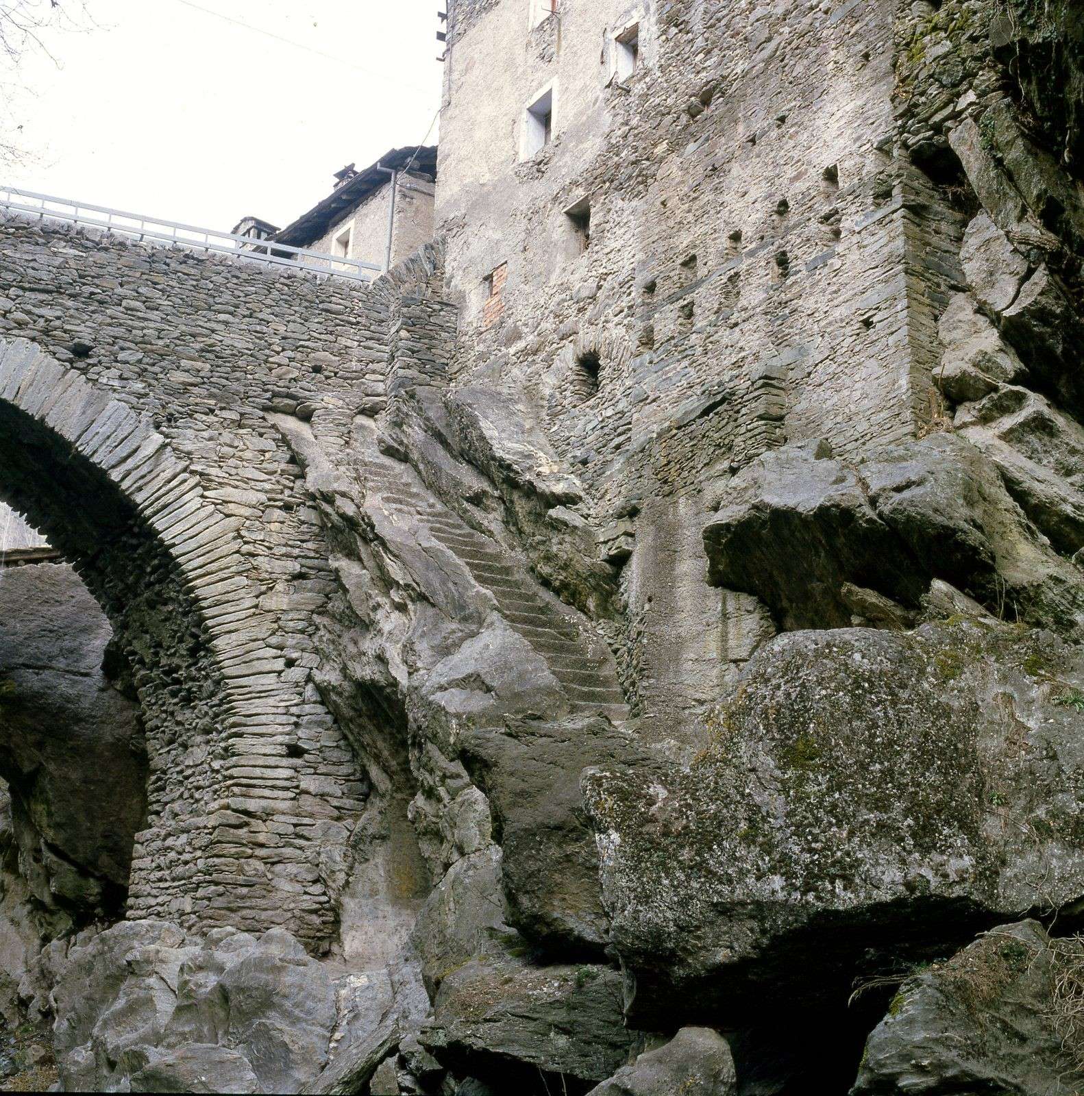
  • Via delle Gallie [Gallie Street] - Municipalities of Arvier and Avise - Aosta Valley - Italy
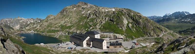
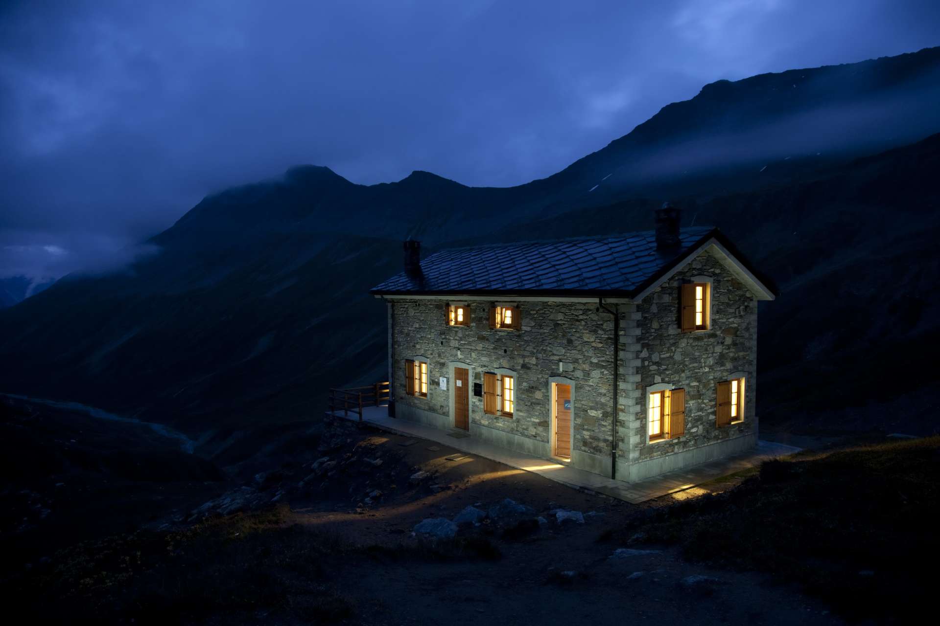
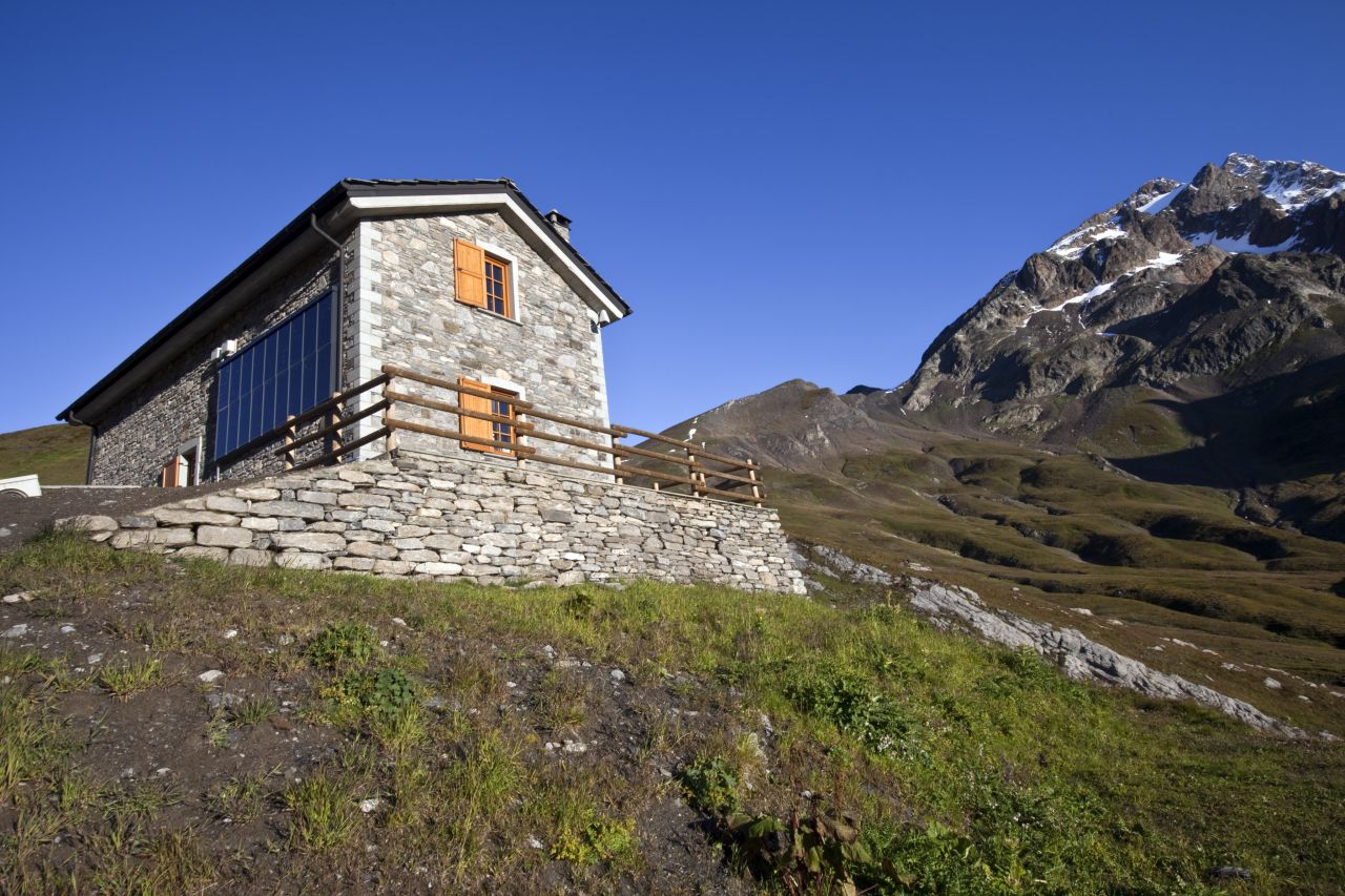
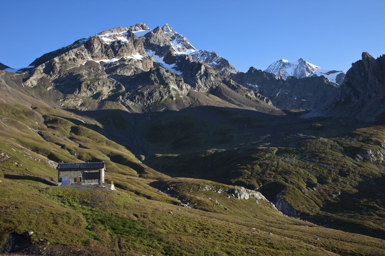
  • Colle e Ospizio del Gran San Bernardo [Grand Saint Bernard Pass and Hostel] - Municipalities of Saint-Rhémy-en-Bosses (Aosta Valley - Italy) and Bourg-Saint-Pierre (Valais - Switzerland)
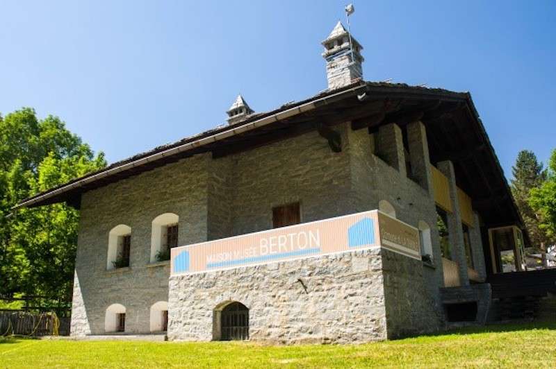
  • Maison Musée Berton [Berton Home Museum] - Municipality of La Thuile - Aosta Valley - Italy
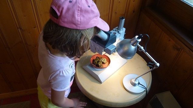
  • Maison della Riserva naturale di Passy [Home of the Passy Nature Reserve] - Municipality of Passy - Haute-Savoie - France
  • Chalet del Colle des Montets [Montets Pass Chalet] - Municipality of Chamonix- Haute-Savoie - France
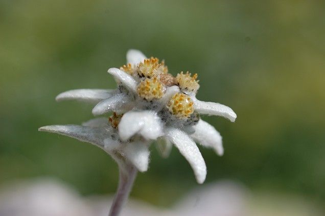
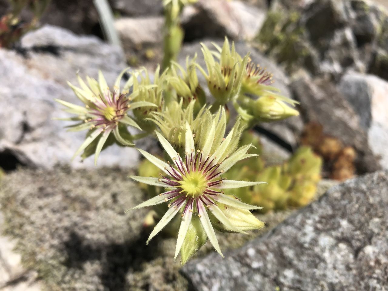
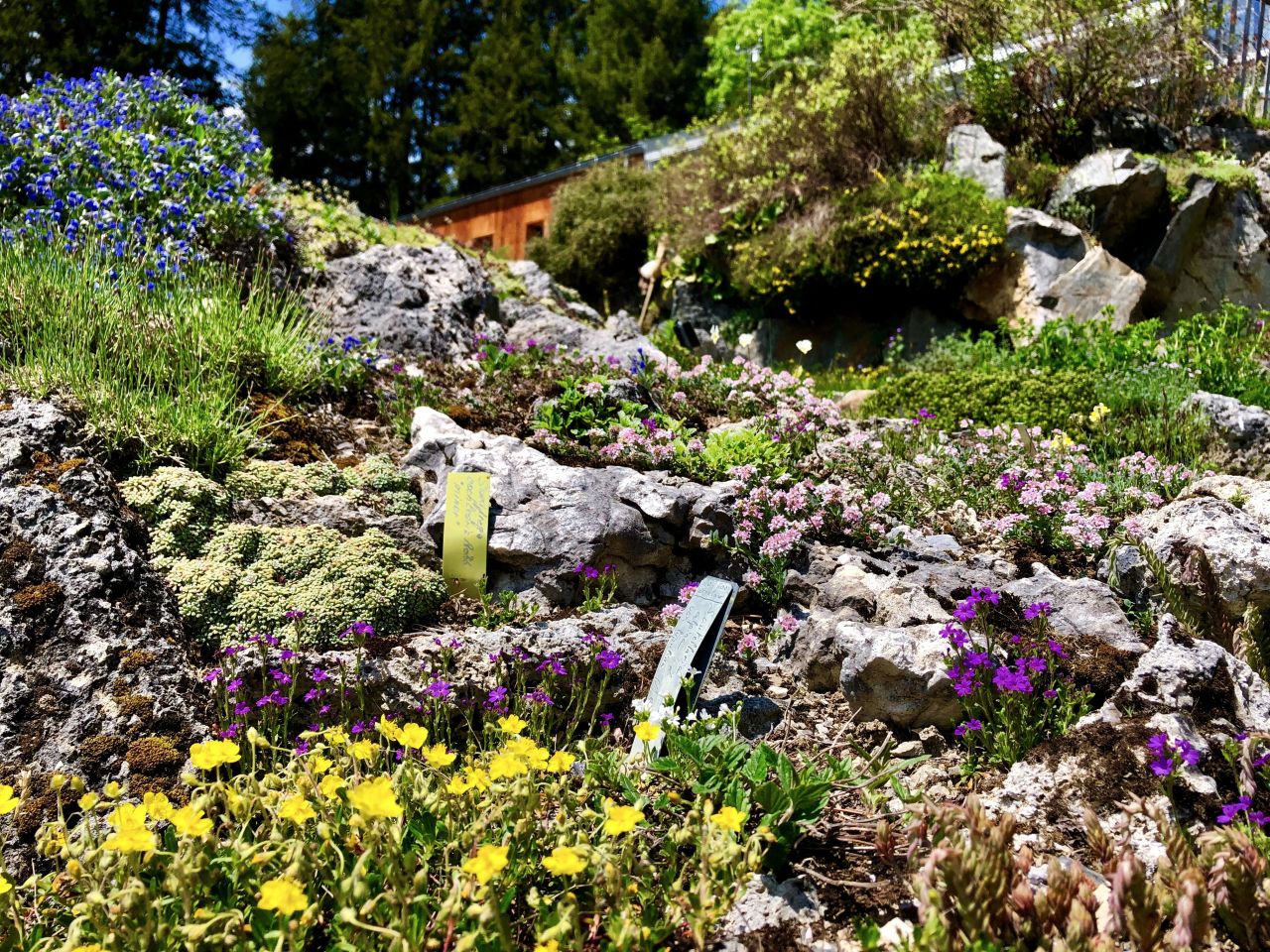
  • Giardino botanico alpino Flore-Alpe [Flore-Alpe Alpine Botanical Garden] - Municipality of Orsières - Valais - Switzerland
  • Mur (dit) d'Hannibal [Hannibal's wall (known as)] 

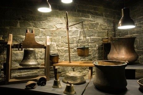
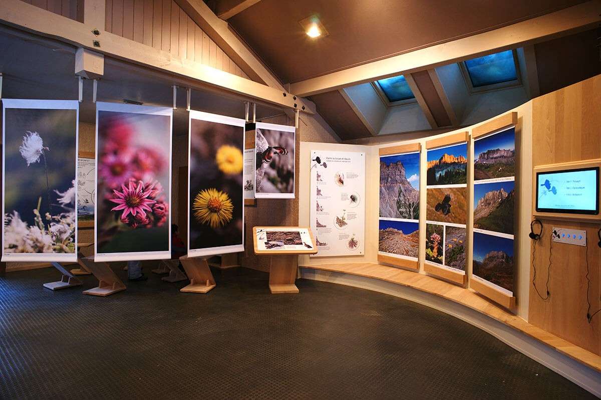
In the two-year period 2021/22, as part of the Alcotra project "Parcours d'interprétation du patrimoine naturel et culturel" (Journey of Interpretation of the natural and cultural heritage), these facilities and sites are the subject of modernization and implementation of innovative tools, with the aim of improving both the understanding and the public appreciation of this heritage.

Read the publication "Nature and culture arount Mont Blanc - An immersive experience in the heart of an exceptional heritage" and watch the video "8 wonders around Mont Blanc" to discover and find out more about the 8 project sites to visit.

Sarriod de La Tour Castle

Municipality of Saint-Pierre (Aosta Valley - I)

Sarriod de La Tour

Address: 20 Rue du Petit-Saint-Bernard - 11010 Saint-Pierre - Aosta Valley - Italy

Telephone: (+39) 0165 904689

e-mailcastellivalledaosta@regione.vda.it

Altitude of the site: 731 meters

Opening

  • From October to March: 10 am - 1 pm and 2 pm - 5 pm. Closed Mondays.
  • Closed on December 25th and January 1st
  • From April to September: 9 am - 7 pm, every day.

Fees

  • Full price: € 3.00.
  • Reduced fare for groups: € 2.00 (groups of at least 25 paying people, university students, specific agreements)
  • Reduced fare for children: € 1.00 (children ages 6 to 18 years old, schools)
  • Free: children under 6 years of age, people with disabilities and their caretakers 1 teacher or school staff for every 10 students

Website

Geolocation

Description

It is not yet possible to trace the origins of the castle that belonged to the Sarriod de La Tour family. Located on a plateau overlooking the Dora Baltea River, it is surrounded by apple trees that give it a magical appearance, especially at the time of flowering. This site dates back to the 11th and 12th centuries in its oldest part. Over the course of the following centuries, it has undergone changes and has expanded, but not always in an organic way, which gives it its current irregular appearance. Inside the chapel there is an important cycle of wall paintings from the early 13th century, while outside, in the adjoining room, there are fifteenth-century fresco paintings. Unique and fascinating is the so-called “room of the heads”, which takes its name from the decoration of the wooden ceiling, whose shelves are carved with curious, sometimes obscure, characters, and fantastic and monstrous creatures. Since 1971 the castle has belonged to the Regional Administration.

Gallie Street

Aosta Valley - Italy

Gallie Street in Leverogne, Arvier, Aosta Valley

Location

The Via delle Gallie [Gallie Street] starts in the central valley floor of the Aosta Valley and then forks at the chief town and heads towards the passes of the Grand and Petit Saint Bernard.

Website

Description

The Roman road called "delle Gallie" (of the Gauls) was the first public work of the Romans in the Aosta Valley, replacing the primitive paths that led beyond the Alps. This important road, which crossed the territory of the Aosta Valley and forked at Aosta, was essential infrastructure for military and political expansion, and met the need for efficient and rapid connections with Gaul and Germany.

Today, more than 2,000 years later, the Via Romana delle Gallie still largely exists: from the spectacular stretch in Donnas, to the bridges in Saint-Vincent, Châtillon, and Aosta; from the powerful substructures still visible in Introd, Arvier and Avise, to the incredible cuts in the rock and the mansions over 2,000 meters above sea level.

As for the "Alta Valle" (the valley stretching west of Aosta), between Villeneuve and Avise there are numerous remains of the ancient road; in Arvier, Mecosse and Leverogne sections of substructures are still present, while under the medieval bridge of Leverogne you can see the shoulder of the right bank of the Roman bridge. Before the village of Runaz, masonry supports can be seen halfway up the coast; a little further on, at Pierre Taillée, the most monumental part of the road is preserved, which, in this stretch, presents cyclopean masonry and cuts in the lively rock. The road continued to the Equilivaz bridge, but from this point the traces are lost: the route to the Alpis Graia can therefore be reconstructed only by hypothesis. The remains of two Roman bridges are still visible at Faubourg in La Thuile and Pont-Serrand.

The Grand Saint Bernard Pass and Hostel

Municipalities of Saint-Rhémy-en-Bosses (Aosta Valley - I) and Bourg-Saint-Pierre (Valais -CH)

Grand Saint Bernard Hostel

Address: Grand Saint Bernard Pass, 2 - 1946 Bourg-Saint-Pierre - Switzerland

Telephone: +41 (0)27.787.12.36

e-mail: hospice@gsbernard.com

Altitude of the site: 2,473 meters

Location: the Grand Saint Bernard Pass marks the border between Switzerland and Italy.

Opening: in summer, from mid-June to mid-October, according to the conditions of the road that leads to the Pass.

Fees

  • Educational trail "Explore the Great St. Bernard", around the lake (1.5 km). The accompanying booklet in fr/it and de/en is available for free at the tourist office of the Col, at the shop of the Auberge de l'Hospice or at the Hostel.  
  • Visit to the Hostel and the Treasury: free of charge.
  • Museum and crypt visit: adults, CHF 10; seniors, CHF 8; children, CHF 6. Fees for groups (10 people): adults, CHF 8.50; seniors, CHF 7; children, CHF 5. Special price for families: children 0-7 years old: free. Prices are in Swiss francs.

Website

Geolocation 

Description

The Grand Saint Bernard Pass is:

  • A place of life, hospitality, and spirituality. Hospitality facilities available:
    • A Hostel run by the clergy of Grand Saint Bernard, open all year round (in winter, accessible with snowshoes or ski mountaineering). The clergy have been offering hospitality for almost a thousand years.
    • An inn of 30 rooms and various restaurants (open in summer, located on both sides of the border).
  • A crossing point rich in history and a cultural site. Worth visiting:
    • Around the lake: opened in 2022, the educational trail, is an itinerary split into 7 different stages that allows to discover the natural and cultural richness of the site (free of charge as well as the accompanying booklet that indicates the route). 
    • In the Grand Saint Bernard Hostel: the baroque church and its treasure (new museology).
    • In front of the Hostel: the museum, which shows the Roman remains at the pass, the history of the site, the fauna and flora of the mountains, its climate (permanent exhibition). Every summer there is also a temporary exhibition.
    • Near the museum: the site of the famous Saint Bernard dogs (presence of dogs in summer).
  • A high mountain site, characterized by harsh climatic conditions: deep snow, sometimes extreme temperatures, wind, and variable weather conditions are all factors that require the adaptation of man, wildlife, and flora. The Hostel has collected the longest series of climate measurements in the Alps, which is an excellent indicator of ongoing climate change. The educational trail around the lake presents these different aspects, with an emphasis on climate observation. 

Berton Home Museum

Municipality of La Thuile (Aosta Valley - I)

Berton Home Museum
Berton Home Museum

Address: Maison Musée Berton - Frazione Entrèves, 52 - 11016 La Thuile - Aosta Valley - Italy

Telephone: (+39) 366/5647161

e-mail: maisonmuseeberton@gmail.com

Altitude of the site: 1,451 meters

Opening

  • From December 1st to May 1st (Friday and Saturday from 10 am to 1 pm and 4 pm to 7 pm and Sunday from 10 am to 1 pm).
  • Extraordinary openings during the holidays: 4 pm - 7 pm. Closed on December 25th and 26th
  • From June 20th to September 20th every day (except Mondays) from 3 pm to 8 pm.

Fees

  • Full price: €2.00
  • Reduced price: 1,50€ (over 65 years old)
  • Free of charge: under 18 years old

Website

Geolocation

Description

La Maison Musée Berton is a wonderful private villa built by the Robert and Louis Berton brothers in 1975 as a place for holidays and rest in their mother's village of origin, La Thuile. Although engaged in very different professions - Louis was a notary and Robert was a professor of physical education - the two brothers shared the love for the Aosta Valley from every point of view. Over the course of 50 years, they have fervently collected furnishings and handicrafts such as utensils, sculptures, and paintings that they have lovingly placed in their large house in La Thuile. In particular, Robert Berton was an expert in art, culture and tradition, crafts, architecture, history, and much more, and he spent his life giving valid and concrete support to the work of the various craftsmen who created the famous millennial Saint Ours Fair.

Today the house is a museum by will of the brothers who, bachelors and without heirs, donated the building and their collections to the Municipality of La Thuile, indicating precisely that it be transformed into a museum. It is therefore possible to admire the rich collection with over 250 pieces which represent Aosta Valley craftsmanship through the centuries, dating from the 16th century to the middle of the 20th century. The different rooms remain as Robert and Louis left them at the time of the 1998 donation. There is a special atmosphere given by the richness and variety of furnishings and objects, but above all by the incredible modernity of their tastes that have led to combinations of great charm.

Home of the Passy Nature Reserve

Plaine Joux - Municipality of Passy (Haute-Savoie - F)

Home of the Passy Nature Reserve

Address: Maison de la Réserve Naturelle - Chemin des Parchets, 321 - 74190 Passy - France

Telephone: +33 (0)4.50.90.23.07

e-mail: rnpassy@gmail.com

Altitude of the site: 1,352 meters

Opening

  • During school holidays.
  • It is forbidden to bring dogs, even if kept on a leash.  

Fees: Free of charge

Website

Geolocation

Opposite the Mont Blanc Massif, the Passy Nature Reserve dominates the Arve Valley. A true jewel of nature, it connects the Sixt-Fer-à-Cheval and the Aiguilles Rouges Reserves.

Surface area: 1,800 hectares.

Altitude of the reserve: from 1,300 to 2,900 meters.

Description

The Passy Nature Reserve sums up the mountain history of Haute-Savoie.

  • Natural environment: the young cliffs of the Fiz dominate the headlands of Pormenaz, the formidable thrust of the Alps that contrasts with their siliceous and limestone nature. This mineralogical contrast gives rise to the diversity of environments (meadows, moors, wetlands) and alpine fauna.
  • Wildlife: chamois, ibex, eagle, marmot, western capercaillie, white partridge, bearded vulture.
  • Flora: 530 species have been listed, including the lily of San Bruno, the martagon lily or the flowering of the silene acaula (also known as moss campion or, in Italian, marmotta - marmot bread).

The Chalet of the Passy Nature Reserve offers information, documentation, a playground, shops, and presents a permanent exhibition on the riches of the Reserve.

Montets Pass Chalet

Municipality of Chamonix Mont-Blanc - Pays du Mont-Blanc (Haute-Savoie - F)

Montets Pass Chalet
Montets Pass Chalet

Address: Col des Montets - RD 1506 - 74400 Chamonix Mont-Blanc - France

Telephone: (+33) 07 62 26 25 15  -  during the closure period: (+33) 07 63 78 62 84

e-mail: alex.bruneau@ccvcmb.fr

Altitude of the site: 1,461 meters

Opening

  • From mid-May to mid-September and during the All Saints holiday.
  • 10 am - 5 pm outside the summer holidays.
  • 9:30 am - 6 pm during the summer holidays.

 Fees: Free of charge. Contact us for guided tours for groups / schools or discovery courses.

Website

Geolocation

Description

The Chalet is located on an emblematic alpine pass, gateway to the Chamonix Mont-Blanc Valley. It is located in an exceptional natural setting at the foot of the Aiguilles Rouges Massif and its three national nature reserves.

Since its opening to the public in 1976, it is the nature site not to be missed in the Chamonix Mont-Blanc Valley! It’s the ideal site to discover the fauna and flora of this valley, and to learn more about the climate changes taking place in our mountain environment.

It offers exhibitions, film screenings, shows for families, but also outings and conferences. Thanks to the presence of the nature promoter, site manager, and their team of trainees, the most curious visitors will learn a lot about nature and the environment.

The Montets Pass is also an essential starting point for excursions to the emblematic sites of the valley. There is also a buvette, a souvenir shop and a library (books available for free, for consultation only).


Flore-Alpe Alpine Botanical Garden

Champex-Lac, Municipality of Orsières (Valais - CH)

Flore-Alpe Alpine Botanical Garden

Address: Route de l'Adray, 27 - 1938 Champex-Lac - Switzerland

Telephone: (+41) 27 783 12 17

e-mail: info@flore-alpe.ch

Altitude of the site: 1,500 meters

Opening

  • From May 1st to October 31st: every day from 10 am to 6 pm.

Fees

  • Full price: 8 CHF
  • Reduced price: 4 CHF (children from 6 to 16 years old, students, and seniors)
  • Groups: discounts starting from 15 people
  • Free for children up to 6 years old, for schools (compulsory education), and with the Saint Bernard PASS

Webiste

Geolocation

Description

The Flore-Alpe Alpine Botanical Garden is an enchanting place located at 1,500 m of altitude. Built in 1927 by the Waldensian industrialist Jean-Marcel Aubert, it was initially designed as an ornamental garden and then gradually transformed into an Alpine botanical garden, a unique creation. Rich in paths that wind between rocky gardens and stone bridges that overlook water, the Garden is home to over 4,000 plant species of local flora, coming from the surrounding regions, as well as from the mountain ranges in Europe and other continents.

The Flore-Alpe Garden is also home to the Alpine Center for Phytogeography, which studies the relationships between high mountain ecosystems and the environment. The research carried out here concerns the diversity and distribution of the different plants, as well as those relating to the oscillation of the upper limit of the forest, mainly in the Valais and the Alps. The results of these observations are presented to visitors through exhibitions, conferences, and excursions.

The Flore-Alpe Botanical Garden is classified as a cultural heritage of national importance and in 2007 was awarded the Schulthess Prize for gardens of Swiss heritage. Its visitors appreciate its romantic charm, its tranquility, and its unique panorama over the Champex Lake and the snow-capped Combins. The large Chalet, renovated in 2015, also offers the opportunity to spend one or more nights in the heart of the Garden and its collection.

Hannibal's Wall (known as)

Municipality of Liddes (Valais - CH) and RAMHA Association - Recherches Archéologiques Mur (dit) d'Hannibal

The Wall and Boveire glacier_© Pyn

Address: Maison de Commune - 1945 Liddes - Switzerland

e-mail: info@ramha.ch

Altitude of the site: 2,650 meters

Location: the archaeological site is located near the educational trail that leads to the Lâne Pass.

Opening: in summer, from mid-July to the end of September, depending on the first snowfall

Fees: Free of charge. For guided tours of groups, schools or other: contact us.

Webiste

Geolocation

Description

The Wall (as it is called) of Hannibal is an archaeological site located at an altitude of 2,650 m on the eastern slope of the Entremont Valley, in the municipality of Liddes. Its remains consist mainly of a drywall that extends over 270 meters in length. In some sections the wall is preserved up to 2.5 meters high and 3 meters wide. One of the best-preserved elements of the site is an inscription in a shelter in the area, dedicated to the Celtic god of the peaks, Poininos. Will you be able to find it once you get to the site? But who climbed to this altitude to build this imposing monument and for what purpose? Did Hannibal, the Carthaginian general, with his troops and his elephants stop there? Even if the hypothesis is attractive, in fact it is not true. An archaeological investigation carried out in 2010 by the RAMHA association (Archaeological Research of the (so-called) Wall of Hannibal) reveals that this imposing defensive structure was erected in the second half of the first century BC by men hired by the Romans. Since 2016, the research project has extended to other locations in the region around the Aosta Valley, all located at high altitudes (between 2,400 and 3,000 meters above sea level) and with similar characteristics, from uncovered material or drystone fortifications. Therefore, the (so-called) Hannibal's Wall constitutes an element of a much broader strategic arrangement put in place by the Romans. The results of the research will soon be presented in an interpretation center in the village of Liddes and in the summer of 2022 an educational path will be set up.

More structures

Casermetta Espace Mont-Blanc at the La Seigne Pass (Val Veny, Courmayeur, Aosta Valley - I)

Casermetta EMB

Address: Col de La Seigne - Val Veny - Courmayeur - Italy

e-mail: casermetta@fondms.org

Altitude of the site: 2,365 meters

Opening

  • From mid-June to mid-September: 9:30 a.m. - 5:30 p.m.

Fees: visit and workshops free of charge.

Website

Description

Owned by the Aosta Autonomous Region and managed by the Fondazione Montagna sicura (Safe Mountain Foundation), the Casermetta at the La Seigne Pass (2,365m - Val Veny, Courmayeur) is a cross-border environmental education center of the Espace Mont-Blanc, as well as a strategic location for the acquisition of both socio-demographic data relating to visitors to the Tour du Mont-Blanc and scientific data for the purposes of monitoring mountain ecosystems.

La Casermetta has been renovated as part of the concrete actions undertaken by the Espace Mont-Blanc in the Interreg IIIA Alcotra France-Italy Programme (EU funds).

Inside there is a model of the Mont Blanc massif (maquette) and several descriptive panels that illustrate the naturalistic, environmental, geographical, and historical aspects of the territory.

The Casermetta is equipped with an energy supply system based entirely on renewable energy sources: solar panels, photovoltaics, and a micro hydropower system.

Fondazione Montagna sicura, through its specialized staff, organizes different workshops and thematic meetings on natural hazards, glaciology, flora and fauna, mountain safety, physiological adaptations to altitude, and renewable energy.