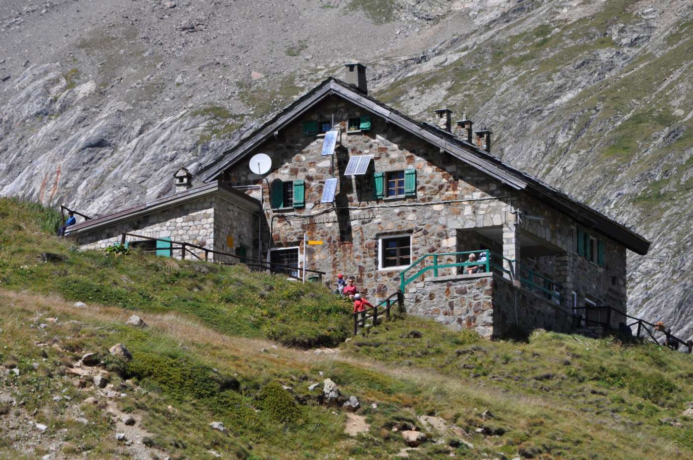
Rifugio Elisabetta
Courmayeur - Val Veny (I)
Distance6,2 km
Difference in altitude 473 m
Duration 4 h
Difficulty Medium
Description
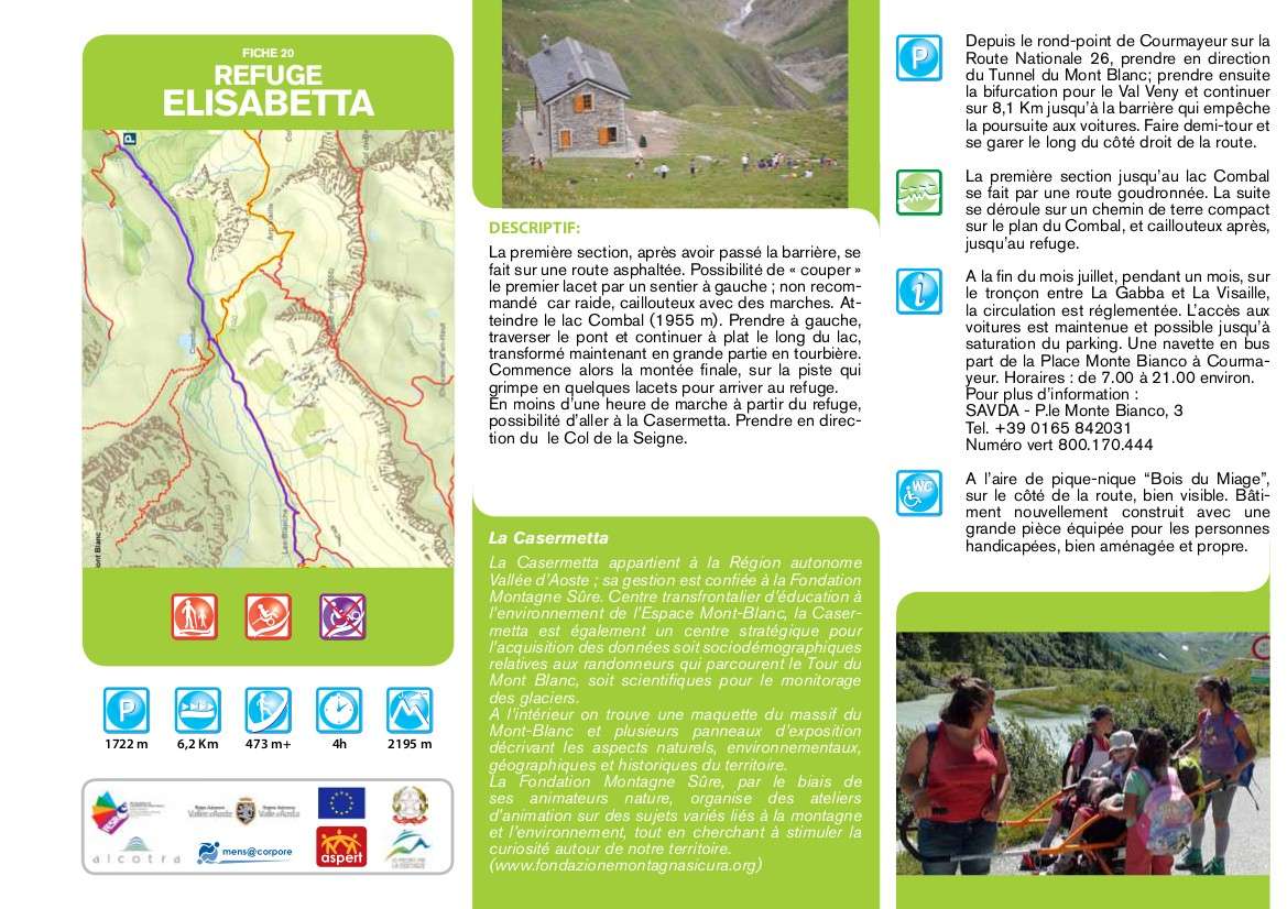
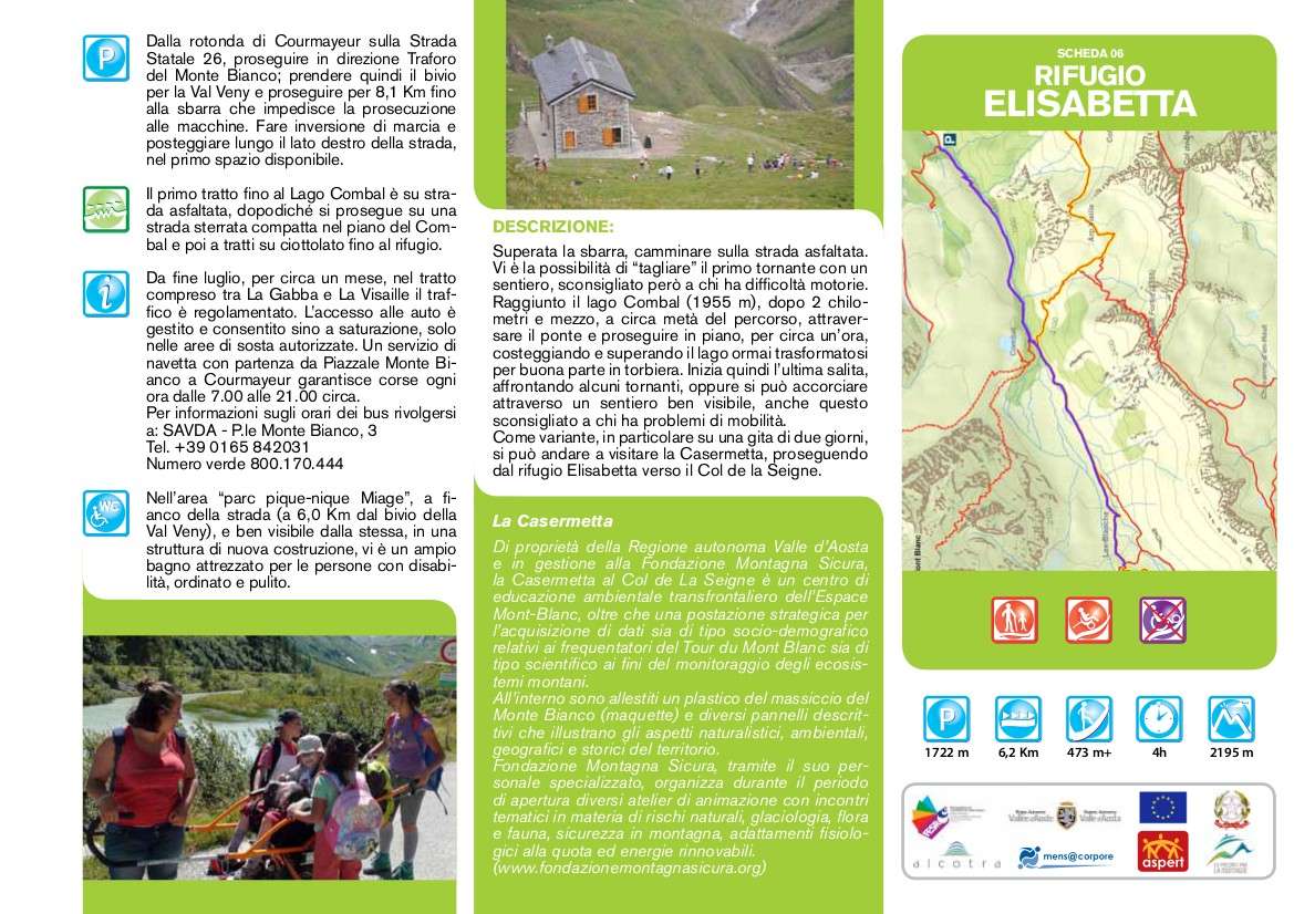
After the barrier, walk on the paved road. There is the possibility of "cutting" the first bend with a path, however not recommended for those with walking difficulties. When you reach Lake Combal (1955 m), after 2 and a half kilometers, about halfway along the route, cross the bridge and continue flat for about an hour, skirting and crossing the lake which has now largely turned into a peat bog. Then the last climb begins, facing some hairpin bends, or you can shorten it through a clearly visible path, also not recommended for those with mobility problems. As a variant, especially on a two-day trip,
you can go and visit the Casermetta, continuing from the Elisabetta refuge towards the Col de la Seigne.
Technical data
Place
Courmayeur - Val Veny (I)
Departure
La Visaille - Val Veny
Arrival
Rifugio Elisabetta
Direction
Back and forth
Difference in altitude
473 m
Distance
6,2 km
Duration
4 h
Maximum altitude
2.195 m
Route conditions
Paved road, then wide path, stony part at the end
Difficulty
Medium
Photo gallery