Bellevue - Baraque des Rognes
Description
Difficulty: difficult
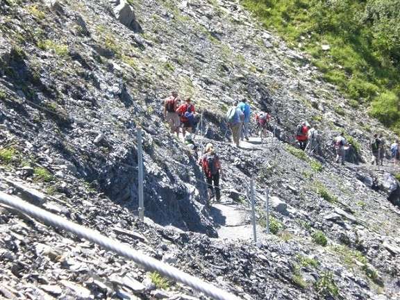
Although the new track is very well made, this is still a mountainous route, very exposed in parts. In places it is equipped with safety cables, for example in the section towards Dérochoir.
When you come to Saint-Gervais, arriving from Le Fayet, take the first road on the left near the old Le Mont Joly, and follow it up to the free Mont BlancTramway (TMB) car park. Take the train to Bellevuestation, and head for the La Chalette resort, where the path stops following the railway line and climbs the backbone of Mont Lachat, reaching the summit at an altitude of 2134 m.
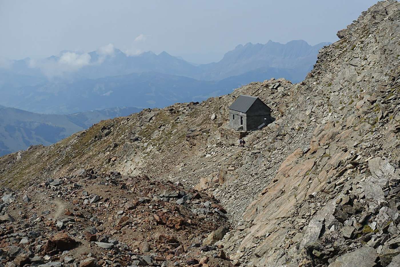
From here the track carries on without any difficulties to the old encampments, before arriving at Le Dérochoir, where it becomes steeper and only suitable for serious climbers. After a final effort the roof of the forest barracks of Rognes comes into view, and a short way beyond you reach the balcony overhanging Chamonix, which offers a wonderful view of the valley bottom, the Dôme du Goûter with its new hut, the Aiguille du Midi and the Aravis mountain range.
Technical data
Photo gallery